
By Tamara Jager Stewart
Looking across the parched desert landscape, its thin soils blowing in the unrelenting winds, it’s hard to imagine the agricultural oasis that once thrived here some 1,200 years ago, when the canyon’s floodplain was teeming with activity and covered with fields of corn and other economic plants. Through ingenious engineering, the canyon’s early inhabitants transformed the landscape into a highly productive community and agricultural center. These resourceful groups, known as the Jornada Mogollon, lived in semi-subterranean pit houses while intensively cultivating the land through the construction and maintenance of agricultural features—miles of hand-dug irrigation ditches overlooked by a great kiva that served as the village’s administrative center.

Only the southern half of the great kiva at Creekside Village, pictured, has been excavated. The hearth is beneath the slab in the center and the entry is to the upper left of center. The hearth and entryway align with the winter solstice rise. The bench can be seen arcing across the top of the structure with the remnant upper adobe wall just beyond, and areas of the floor show evidence of extensive burning, likely associated with ritual closure. Photo by Adam Hoppes
Now the canyon is the focus of a different form of activity—investigation into the timing and lifeways of past inhabitants. Landowners looking to subdivide their 145-acre property in 2004 hired Four Corners Research to conduct an archaeological survey. Two large irrigation canals, the village site with its apparent great kiva depression (a ceremonial structure used for socio-religious events), and other sites were identified by the research team during the survey. With permission, Jornada Research Institute (JRI), a cultural resource management company founded by archaeologist David and Dawn Greenwald, tested the depression, confirming it was indeed a large pit structure with features commonly associated with kivas. Additional testing has confirmed the presence of 84 pithouse depressions across three ridges as well as irrigation ditches and fields on the Rio Tularosa floodplain, a reservoir, upland water-catchment features, and irrigated agricultural terraces. “The site continues to surprise,” Greenwald said. “Since the initial excavations at Creekside Village, we have determined that it is larger than originally recorded and represents a complex settlement of significant size with public architecture and community features.”
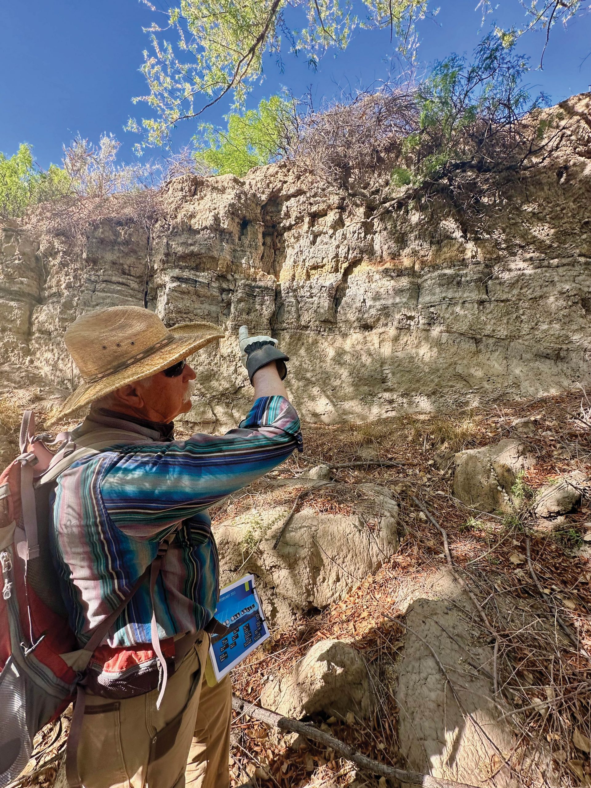
Over the years, many volunteers, including professional archaeologists and students from Eastern New Mexico University, the University of Texas at El Paso, New Mexico State University, and the University of New Mexico, have joined investigations of the site. This spring, Greenwald was joined by geomorphologist and geoarchaeologist Dr. Samantha Krause of Texas State University and her crew of graduate and undergraduate students, who are in the process of trenching through the village’s main irrigation canal that distributed water from the likely reservoir to the terraced agricultural fields.
Creekside Village is a mid-to-late Mesilla phase (A.D. 500/600-900) pithouse village located between the confluence of the North and South Forks and the mouth of Tularosa Creek in the Tularosa Basin of south-central New Mexico (not to be confused with Tularosa River near Reserve, N.M.). The village inhabitants thrived there for several centuries until about A.D. 820 when a period of intense drought resulted in dramatic changes to Tularosa Canyon. By A.D. 900 the villagers had left the area. Greenwald thinks they may have drained the wetlands to turn them into agricultural fields, by diverting the stream flow into canals to create cultivatable lands.
Today, the stream channel is deeply entrenched, with steep, exposed sides that exhibit stratigraphy from the late Pleistocene to modern times. Krause and noted archaeologist and geologist Vance Holliday of the University of Arizona conducted environmental reconstruction studies of the well-preserved profile, which provides a stratigraphic guide to the area’s past environment extending back 6,500 years. During the late Holocene when the Jornada Mogollon occupied the canyon, the deposits indicate the stream was slow-moving, supporting dense vegetation and a marshy environment. Botanical studies conducted in wetland deposits, agricultural terraces, pithouses, and the reservoir all indicate that none of the present vegetation grew at the location prehistorically. Back then, the canyon was dotted with pinyon and juniper, ash, alder, oak, and walnut trees, with willows and other water-loving species in wetland areas. Beginning in the late 19th century, the introduction of livestock and overgrazing denuded the landscape, especially during periods of drought, leading to the current eroded conditions.
The Jornada Mogollon of southern New Mexico, Arizona, West Texas, and Northern Sonora and Chihuahua date from the end of the Late Archaic around 200 B.C. to A.D. 1450. Conventional thinking regarding Mesilla phase (A.D. 200-1000) Jornada Mogollon subsistence strategies have characterized them as highly mobile hunting and gathering groups of moderate sizes that followed a seasonal pattern of resource use. In stark contrast, Creekside Village and the adjacent Twin Kivas site in Tularosa Canyon were dispersed settlements with hundreds of pithouses surrounding communal great kivas. Residents were committed agriculturalists who used both the floodplain and adjacent Pleistocene terraces to create fields irrigated with water diverted from Tularosa Creek as well as through captured runoff. Ditches were designed to carry and collect water, and an earthen dam reservoir was found north of the site. A modified artesian spring would have contained gypsiferous water that may not have been suitable for consumption, but based on ancient modifications to the spring opening, it was used as a barrow area for the construction of the upper walls of the great kiva and its roof covering.
“Both Creekside Village and the Twin Kivas settlements deviate significantly from the surrounding communities dating to the Mesilla phase of the Jornada Mogollon,” said Alexander Kurota, who assisted JRI in mapping the area’s great kivas and has excavated similar settlements in southern New Mexico.
This is an excerpt of ‘Engineering an Ancient Oasis,’ in American Archaeology, Fall 2025, Vol. 29, and No. 3. Subscribe to read the full text.
FURTHER READING
- Blog: Settlement and Land-Use Patterns Along the Rio Tularosa: From the Late Prehistoric Formative Period To Statehood, David H. Greenwald, Jornada Research Institute
- Book: Reconsidering the Mesilla Phase in the Tularosa Basin: Changing Viewpoints on Subsistence Strategies, Sociopolitical Organization, and Residence Patterns Based on Preliminary Studies at Creekside Village, David H. Greenwald with contributions by Linda Scott Cummings and Peter Kováčik, Creekside Village Series No. 1, Jornada Research Publications No. 3 (2018), Jornada Research Institute.
- Presentation: Five Millennia of Living on the Landscapes of the Jornada Mogollon Region, Myles Miller for The Arizona Archaeological & Historical Society (2022)