
By Tamara Jager Stewart
Central Oregon encompasses a vast diversity of landforms—snow-capped mountains, lush forests, rushing rivers, volcanic features, and high-desert expanses. This six-day summer driving tour along a highly scenic route will inspire an appreciation of the tenacity of past peoples who flourished in these challenging landscapes. If you have more time, it’s easy to expand the trip to include additional proximate sites or to follow this ambitious itinerary at a more leisurely pace.
TRIP AT A GLANCE
Day 1: Fly into Eugene, visit the University of Oregon Museum of Natural & Cultural History—stay overnight.
Day 2: Drive to Bend via McKenzie Hwy/Rte. 126, see Goodpasture Bridge, and take Rte. 242 to Dee Wright Observatory and Sisters—stay four nights in Bend.
Day 3: Historic sites of Bend and the High Desert Museum.
Day 4: Smith Rock State Park, The Museum at Warm Springs, and Peter Skene Ogden State Scenic Viewpoint.
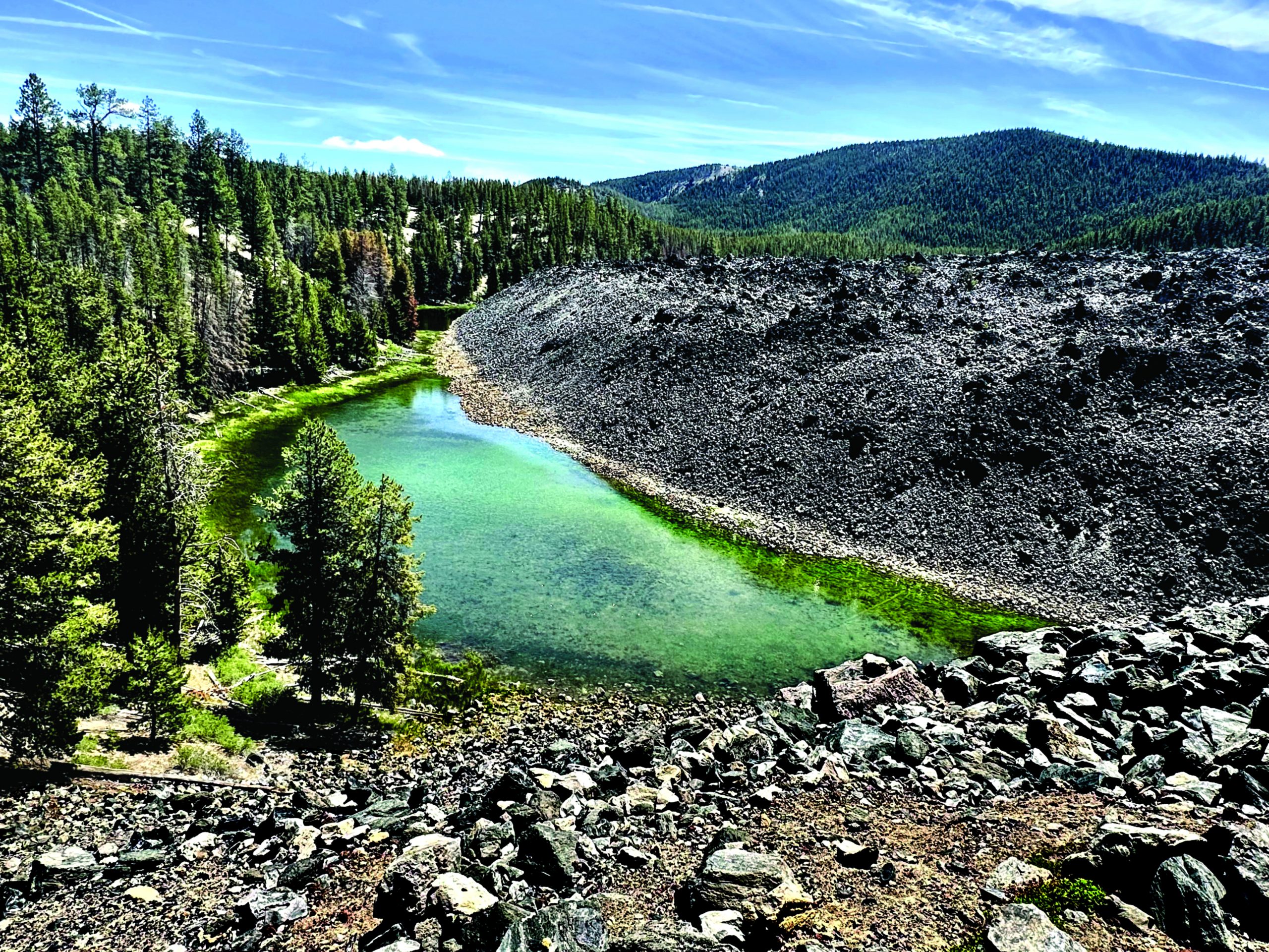
Day 5: Redmond Caves Recreation Site and the Town of Redmond.
Day 6: Depart Bend for the Newberry National Volcanic Monument, Fort Rock State Natural Area, Fort Rock Cave, Fort Rock Valley Historical Society Homestead Museum, and Lowell Covered Bridge Interpretive Center. Return to Eugene via Willamette Highway/Rte. 58.
DAY 1: Museum of Natural and Cultural History, University of Oregon (MNCH)
1680 East 15th Avenue, Eugene, Oregon 97403 • 541-346-3024 • natural-history.uoregon.edu
This world-class museum offers exhibits highlighting archaeologists’ current understanding of human antiquity in Oregon’s Great Basin, where recent University of Oregon and University of Nevada, Reno research has pushed evidence of human presence in Oregon’s northern Great Basin back to the late Pleistocene epoch. Fascinating artifacts include the world’s oldest sandals, ancient human coprolites, fiber basketry, cordage, and points and tools.
DAY 2: Goodpasture Bridge
Located 2 miles west of Vida and named for pioneer farmer Benjamin Franklin Goodpasture, the bridge was built in 1938 to allow local families and commercial logging trucks to cross the McKenzie River. At 165 feet long, it is Oregon’s second-longest covered bridge still accessible to vehicles. The shortage of steel during World War I contributed to the need to use timber and wood as bridge-building materials. House-type structures built over these bridges protect the wood trusses and floor planking, more than doubling their life span. Goodpasture Bridge’s architectural detailing includes false end beams, semi-elliptical portals, and Gothic-style louvered windows, built to allow light through so drivers can see oncoming traffic. The bridge’s unique beauty and importance to Oregon’s transportation history resulted in its listing on the National Register of Historic Places (NRHP) in 1979. In 2005, the Lane County Public Works Department began issuing a series of commemorative coins to honor and support the county’s covered bridges—the first of which featured Goodpasture Bridge. Income from coin sales helps maintain these historic bridges.
From the bridge, continue along McKenzie Highway with a brief stop at the McKenzie River Ranger Station, where you can refill your water, use the facilities, view exhibits, chat with helpful rangers, and grab some brochures and maps.
This is an excerpt of ‘Around the Bend’ in American Archaeology, Summer 2026, Vol. 30, No. 2. Subscribe to read the full text.