
SOUTHEAST—Mississippi State University graduate student Mariah Gonzales and other student volunteers recently spent two weekends conducting a ground penetrating radar and magnetometry survey at the Conservancy’s Fort St. Pierre preserve in southern Mississippi. Located in high bluffs above the Yazoo River and near the Mississippi River, the French established Fort St. Pierre in 1719 among the Yazoo and Koroa tribes.
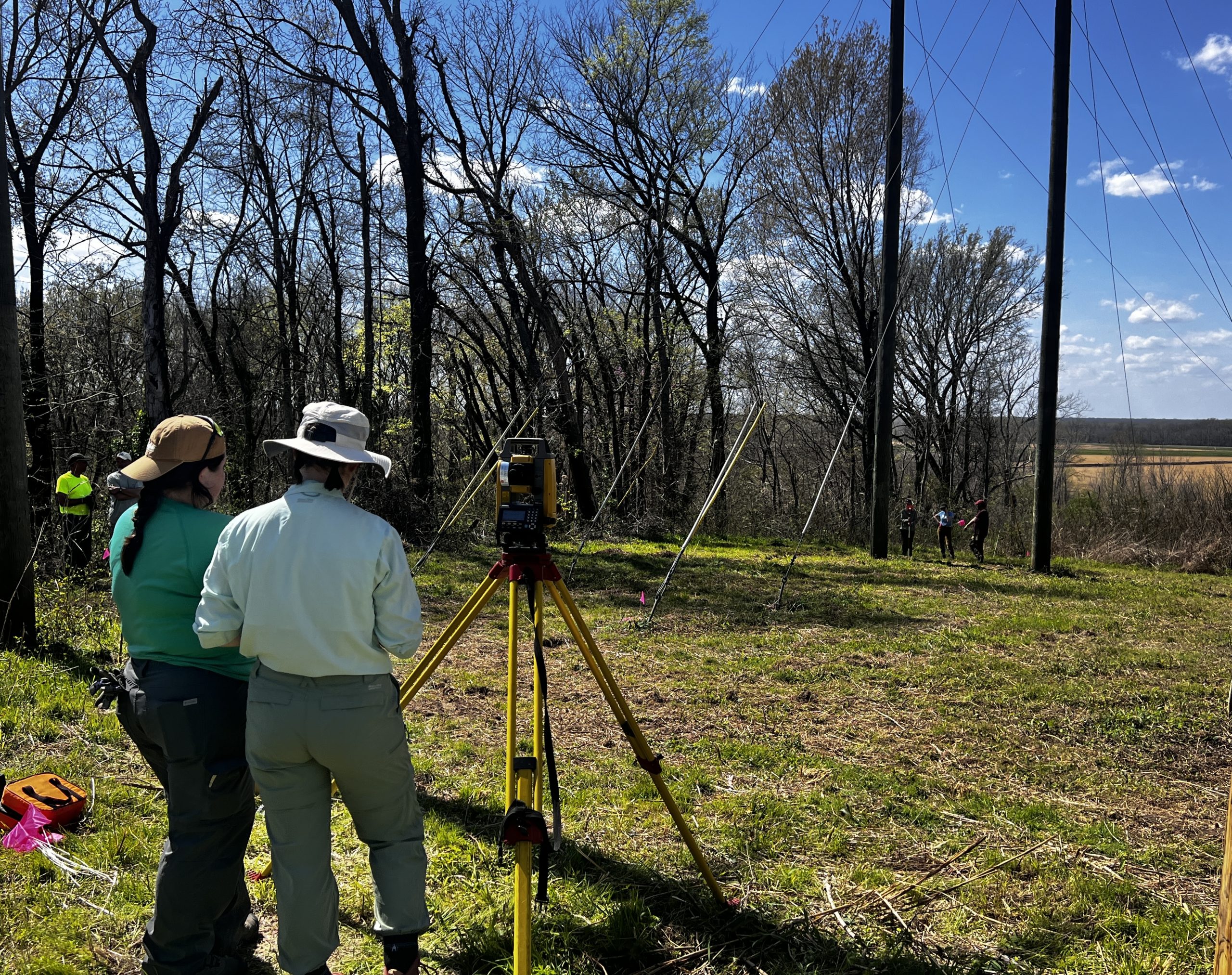
Mississippi State researchers survey Fort St. Pierre. Photo by Jessica Crawford / TAC
Fort St. Pierre was the northernmost outpost of French Colonial Louisiana in the Lower Mississippi Valley, and it was intended to be a trading post that would help maintain the loyalty of local Native American tribes and aid France in its bid to control trade along the Mississippi River. It is one of only two sites from the French and Indian period to be designated a National Historic Landmark in the state of Mississippi.
The fort was a substantial complex featuring a large palisade and a moat that was built to house 100 marines and 200 French settlers, though far fewer people resided there. It was intended to be a trading post with Native Americans, but because of its distance from the French capital in New Orleans, it was poorly supplied. Fort St. Pierre was destroyed in December 1729 when it was attacked and burned in an uprising by the Koroa and Yazoo tribes. Of the 25 people at the fort, only nine women and children survived. The French never returned to the fort, and it disappeared under heavy growth until its location was confirmed by excavations in the 1970s.
The data collected by Gonzales and her team will help understand the size, layout, and external and internal features of the fort, and it will aid the Conservancy with preservation efforts of the fort, an area that is highly prone to erosion.